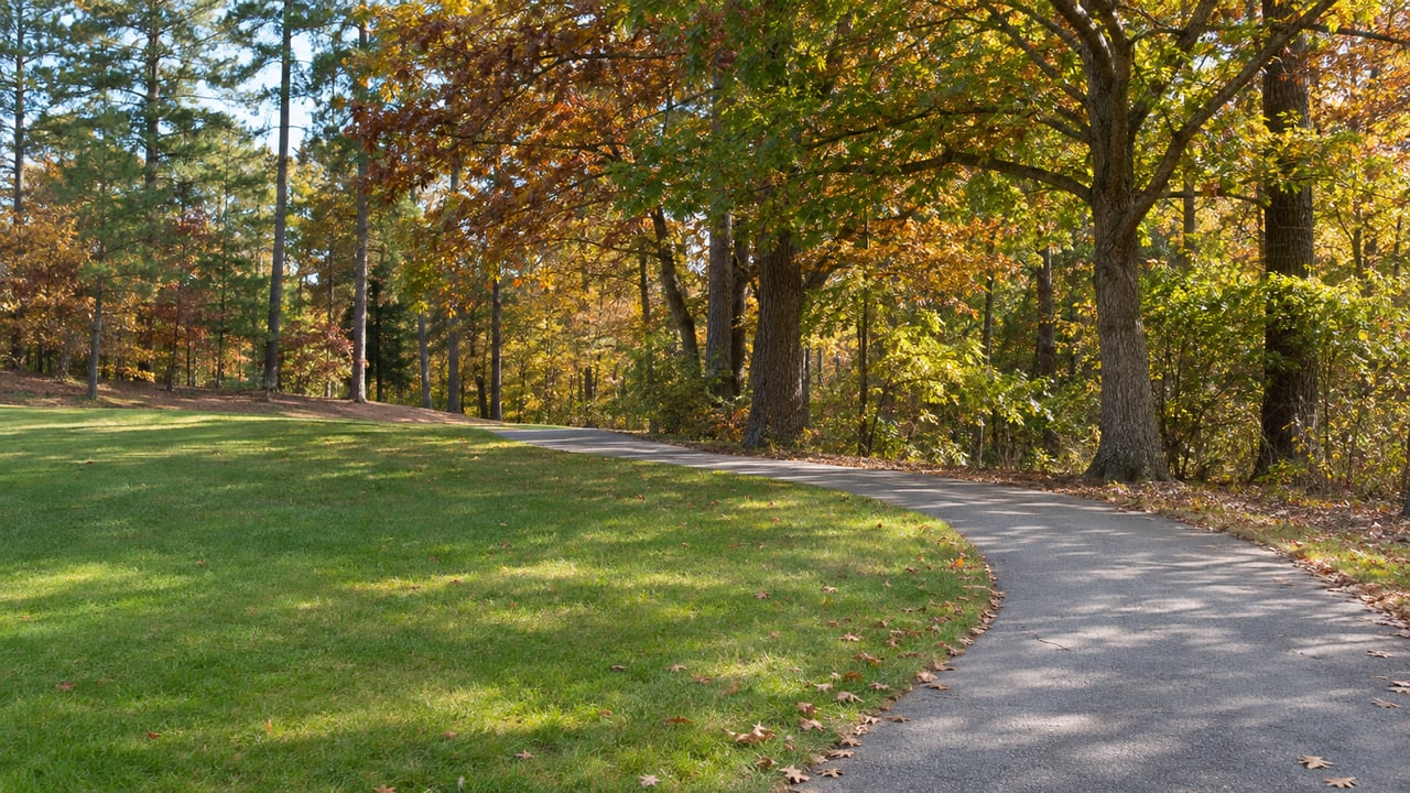
The trailhead across from Alston Ridge Park used to lead into a short greenway. It now goes a full mile, on a 10-foot-wide trail of asphalt and boardwalk with an environmental overlook along the way, and ends at Bass Lake Greenway in Holly Springs. That mile connects the Fuquay-Varina and Holly Springs greenway systems.
Two weeks earlier, part of the South Lakes Greenway closed for boardwalk repairs. Ten days after the ribbon-cutting, the Town Board adopted a new plan for Hilltop Needmore Town Park that drops the planned ball fields and parking lots and keeps the trails. Together, the three changes show where the town is spending its trail money: on connections you can walk, and on keeping existing paths in good shape, rather than on new places you have to drive to.
A mile that ends in another town
The new section adds 2,400 feet to the existing Alston Ridge Greenway. Officials and staff from Fuquay-Varina and Holly Springs cut the ribbon on October 23, joined by representatives from the NC Capital Area Metropolitan Planning Organization, Cardinal Civil Contracting and community members. The Town of Fuquay-Varina's announcement says the route runs from the trailhead at Alston Ridge Park, 6850 Hilltop-Needmore Road Extension, to Bass Lake Park in Holly Springs.
What's at the Fuquay-Varina end shapes how a walk here goes. Alston Ridge Park is a small neighborhood park with a 0.4-mile paved walking loop, a playground and a picnic shelter. It also has a StoryWalk, presented by the Fuquay-Varina Junior Women's Club with the Town and the Wake County Public Library, and the books change every two to three months. So a family can do the short loop and the StoryWalk, or keep going for the full mile out to the Bass Lake Greenway and back.
The destination is what makes this mile different. The trail ends at another town's greenway network, and the boardwalk sections are how it gets there. The Alston Ridge Park facility page describes the purpose as pedestrian connectivity between the two towns.
The boardwalk that's out until January
Boardwalks are what carry a greenway across ground a paved path can't easily cross, and they need maintenance. On the town's other side, that maintenance is underway now. A section of the South Lakes Greenway closed to all pedestrians on October 21 for boardwalk repairs. The Town expects it to reopen in early January 2027. The closure map estimates 75 days of work and marks the closed trails in yellow and red. Check the map before heading out, because the closed portion is the only thing that has changed.
The closure matters because South Lakes is a connector. The Town's South Lakes Greenway page describes a two-mile route linking the Park Depot Trail, the South Lakes and Meadow Brook communities, and Old Honeycutt Road Park. Parking is listed at 1324 Old Honeycutt Road and at Old Honeycutt Park, 101 Fitness Drive. When a connector loses a segment, walks that started at home, crossed it and ended at a park get split. Right now the most reliable way to use this greenway is to plan a shorter out-and-back from one of those two parking areas.
Hilltop Needmore keeps its trails and gives up parking lots
The largest decision this fall was made at a Town Board meeting, not at a ribbon-cutting. Hilltop Needmore Town Park, the former Crooked Creek golf course that the Wake County Board of Commissioners gave to the town in 2019, covers 143 acres of open green space with ponds. It has three trails of varying difficulty and elevation that add up to five miles of paved walking, jogging and biking routes, open sunrise to sunset every day.
INDY Week reported that the Board of Commissioners voted unanimously to amend the park's 2022 master plan. The town will no longer build four athletic fields, a restroom building and parking lots on about five acres of the park. According to INDY Week, the change came after residents and park advocates met with town leaders over the summer, and town officials listened to concerns about environmental disruption, wildlife and neighboring property owners. The Town announced the adopted plan on November 3.
Here's how the two versions compare, based on INDY Week's report:
| 2022 master plan | 2026 amended plan | |
|---|---|---|
| Former field parcels | Four athletic fields, restroom building, parking lots | A destination nature playground and an 18-hole putting course near the Red Trail; up to six lighted pickleball courts, an exercise challenge course, trailside fitness stations, shaded benches and a reading nook on the Blue Trail parcel |
| New parking on park property | Parking lots | None; the town may add parking on a parcel it owns near the Hilltop Needmore Park Maintenance Building off Johnson Pond Road |
| Blue Trail | Not reported | No intended relocation or alteration |
| Funding | $10 million budgeted for the fields | $5 million redirected from a delayed project at Kennebec Road Town Park |
The design inspirations are regional. INDY Week reported that the nature playground is modeled on Unity Park in Greenville, South Carolina, and the putting course on Pinehurst's Thistle Dhu. All of these are planned features. The Board's November 2 agenda item covered both the amended plan and authorization to design and construct it.
For anyone who walks the park, the key line came from Town Manager Adam Mitchell, quoted by INDY Week: "There is no intended relocation or alteration of the Blue Trail." He also said the plan aims to keep the existing tree buffers. Beyond the named amenities, the plan keeps undeveloped areas as green space with tree canopy and pedestrian trails. INDY Week listed pollinator gardens, picnic shelters, pond piers, boardwalks and natural trails as possible additions.
The decision has costs, and the town's own agenda says so. INDY Week reported that the original plan would have been cheaper and would have delivered youth athletic fields sooner. Those fields are now expected within four to seven years, at a much higher cost that could require a future tax rate increase. The $10 million once set aside for Hilltop Needmore will instead go toward buying property for a future active recreation and athletics park. In short, Hilltop Needmore will stay a trail park, and organized sports will get a different site later.
Mayor Bill Harris, who helped bring residents, advocates and staff together, said before the vote that there is "healing in dialogue," as reported by INDY Week.
A winter weekend on foot
With one trail opening, one partly closed and one park's future settled, here's a weekend plan that uses all three as they stand in late November:
- Saturday morning, Alston Ridge to Bass Lake Greenway. Start at Alston Ridge Park, read whatever book is up on the StoryWalk, then take the new mile over the boardwalk sections to the overlook and on to the Bass Lake Greenway. Doing the whole thing out and back is about two miles.
- Saturday afternoon, Hilltop Needmore's three trails. Five paved miles across the former golf course, with ponds along the way, open until sunset. In late fall, sunset is what ends your afternoon here.
- Sunday, South Lakes from Old Honeycutt Park. Park at 101 Fitness Drive and walk the open portion. Before you go, compare your route against the yellow and red segments on the closure map.
Once the South Lakes boardwalk reopens, which the Town expects in early January 2027, every route in this plan will be fully open at once.
At Cobb Zies & Co, we pay attention to which streets connect to a trailhead, because that walk is part of daily life in a home here. If you live near Alston Ridge, South Lakes or Hilltop Needmore and want to know how this fall's trail changes fit into your home's story, we'd be glad to put together a free home valuation for you.